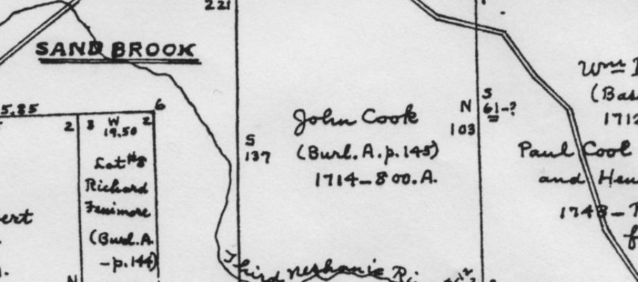
The Hammond Maps of Hunterdon County proprietary tracts are a wonderful resource for county historians. Many of the property owners shown on these maps drawn by D. Stanton Hammond in 1963 were the first Europeans to claim title to this part of the state of New Jersey. What happened to those properties in succeeding years has always fascinated me and provided wonderful material for my articles.
Sandbrook
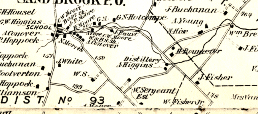
SAND BROOK is a village in Delaware Township, located east of Route 523, a few miles north of Sergeantsville. The village began as the site of a mill owned by Henry Kitchen, and later by his son Samuel Kitchen. Stores, schools, post offices and a church appeared over the years. The buildings remain, but their uses have changed to residential.
The Sine Farm
For the final installment of my study of the Haddon Tract,1 I am turning to the remainder of the property that was left to Nicholas Sine. As a reminder, Nicholas Signe/Sayn/Sine was a partner with another German immigrant, Jacob Sniter, in the 1748 purchase of 1300 acres of the Haddon Tract, a 2,000-acre plot that was surveyed for John Haddon in 1711. Daniel Robins had purchased the other 700 acres.
A 1777 Campground
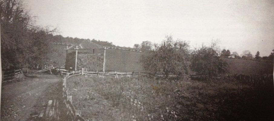
Camp Ground of the Glorious Old Continental Army in 1777
by Jonathan M. Hoppock
originally published in the Democrat-Advertiser, Oct. 10, 1901
From the photograph and from Hoppock’s description, it appears that this “campground” was located along Route 523 near Sand Brook.